

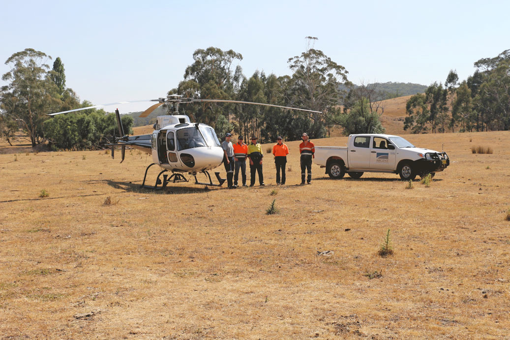
Located 41 kilometres to the south of Newcrest’s Cadia is Kempfield, the Company’s flagship project, a registered New South Wales State Significant Development owned 100% by Argent Minerals.
The Kempfield Polymetallic Project has a substantial Mineral Resource of 21.8 million tonnes and 52 million ounces of silver equivalent contained metal that was upgraded to JORC 2012 standard in May 2014. This upgrade reflects both the quality of the Mineral Resource itself, and the high standard of Argent Minerals’ work on the project, and provides the Company with a strong foundation to aggressively pursue the significant upside potential that it has identified at Kempfield.
Argent drilling has intersected combined lead/zinc grades of up to 17.9% immediately to the west of the existing Mineral Resource, and numerous high-grade gold intervals including a spectacular gold intersection of 1 m @ 1,065 g/t from 97 m by hole AKDD181.
Whilst Argent Minerals has established an initial goal of discovering an additional 5 million tonnes at Kempfield with higher grade lead/zinc, silver, gold and potentially, copper, the potential for a much larger mineralisation system has been identified.
Argent’s direction for Kempfield is to advance it toward production and positive cash flow. Having submitted an Environmental Impact Statement (EIS) to the NSW Government in April 2013 for an initial operation to produce silver and gold, Argent is well-positioned to progress to the next step toward mining on achievement of its initial goal of discovering sufficient tonnes and grade for an economic polymetallic silver/lead/zinc mine.

STRATEGICALLY POSITIONED IN WORLD-CLASS NEIGHBOURHOOD
The Kempfield Polymetallic Project is situated in the Lachlan Orogen, a richly mineralised geological terrane that extends from northern Queensland, NSW and through Victoria into Tasmania.
The Lachlan Orogen is host to one of the largest underground gold mines in the Southern Hemisphere, Newcrest’s Cadia Valley Operations. According to the Newcrest 2016 Mineral Resources and Ore Reserves Statement, the current Cadia Valley Operations Mineral Resource comprises more than 40 million ounces of gold. The region also hosts world-class copper-gold and gold deposits (>100 Mt) such as Northparkes and Cowal.
The Kempfield deposit belongs to a peer group of volcanic-hosted massive sulphide (VHMS) deposits located at the margins of geological basins. This peer group is known as the Eastern Australian Palaeozoic VHMS Deposits and includes well-known rich deposits such as Rosebery, Que River, Hellyer, Mt. Lyell, Sunny Corner, McPhillamys, Woodlawn, Captains Flat and Thalanga (Red River Resources).
The Eastern Australian Palaeozoic VHMS Deposits have been a major source of base metals in Australia over a 100 year period. The growing number of newly identified zones of the Kempfield deposit, along with the major deposit size and increasing lead, zinc, silver and gold grade trends, positions Kempfield with the significant potential to become a major provider of base and precious metals.
For more information regarding Eastern Australian Palaeozoic VHMS Deposits, please see research conducted by Professor Ross Large of the world renown Centre of Excellence in Ore Deposits (CODES) at the University of Tasmania here.
HOW THE KEMPFIELD DEPOSIT WAS FORMED
The current genesis model for the Kempfield deposit is an overturned mound VHMS model, where multiple lenses originally formed in layers on top of each other. Under this model, high temperatures and pressures forced volcanic fluids upward through faults in basement rock of Ordovician age. Under these conditions seawater entering the porous material was heated, and cooled as it travelled further from the volcanic heat source, resulting in circulating convection currents.
As the seawater was heated, the high temperature and pressure enabled the metals in the volcanic fluids to be dissolved in the seawater, which, as it circulated through to the cooler parts of the convection cycle, precipitated those metals onto the ocean floor.
A contemporary form of this can be seen in some deep seabed locations today, where the precipitation of the minerals appears as a black cloud known as a ‘black smoker’.
As the process continued to repeat, with the seawater heating, dissolving metals, then cooling, releasing them, a mound of minerals built on the ocean floor, with temperature-related metal zonation evident in the mound.
This zonation is caused by metals being precipitated in a particular order related to the deposition temperature. Gold and copper, for example, may precipitate at the higher temperatures closest to the feeder source. Next, as the seawater cools further, silver, lead and zinc are the next to be precipitated, and at the furthest, lowest temperature extremities of the system, silver and barite are deposited.
As shown in the top diagram of the following simplified illustration (Original volcanic-hosted massive sulphide (VHMS) deposit formation), the mineralised zones that are the greatest distance from the feeder zone are dominated by silver/barite mineralisation. With nearing proximity to the feeder zone, the lenses are dominated by increasing grades of lead/zinc and potentially, copper/gold.

MAJOR BREAKTHROUGH – VHMS HOST HORIZONS IDENTIFIED
The 3,167 metre diamond drilling campaign completed in the first half of 2016 successfully tested the Kempfield stratigraphy. Detailed analysis of the drill core resulted in the identification of four key host horizons – Horizons A, B, C and D, and the lithostratigraphy of the Kempfield VHMS system.
Illustrated together with the lithostratigraphy in the following figure, the identification of these host horizons is vital to the exploration of VHMS systems since they control mineralisation and its structure.
Another key result of the detailed diamond drill core assessment is the identification of numerous transverse faults, especially the main central fault labelled X-X in the figure below. This shows that the preferentially mineralised horizons A, B, C and D have been offset by strike-slip movement.
These findings represent a major breakthrough in the Company’s understanding of the Kempfield deposit, enabling highly efficient drill targeting going forward.
An immediate result of the transverse faults identification is two potentially significant areas of additional mineralisation (each labelled as ‘Potential Extension’ in the figure below). The first potentially significant area of additional mineralisation is Northwest Kempfield, of which comprises horizons A and B to the north of the main central transverse fault, X-X. The second potentially significant area of additional mineralisation is Southwest Kempfield, comprising horizons C and D to the south of the main central transverse fault.
Hole AKDD195 of the subsequent eight-hole 1,833 metre drill program, completed in January 2017, has already verified C Horizon of the southeast extension, and assay results for other holes pending.
For information regarding the recent drilling campaign, and pending results as they become available, please follow the recent announcements here.
In addition to the potential extension outlined in the figure above, a significant strike potential has been identified through extensive geophysical and geochemical programs. The following diagram shows a possible position of a growth fault zone (basin margin) in relation to the existing Kempfield deposit, and the associated potential 4km strike extension to the north as well as the recently identified additional strike potential to the south.
KEMPFIELD AND THE TRUNKEY-KINGS PLAIN GOLD BELT
In 2016, the Company announced a maiden release of exploration results for the historic Pine Ridge gold mine located within the Company’s exploration licence area EL8213 to the south of Kempfield. This tenement and the Pine Ridge gold mine were acquired by Argent through a low-cost exploration licence application.
Argent is the first company to secure an exploration licence over the Pine Ridge gold mine area since its release from a 15 year lockup under a 3rd party Assessment Lease Application (ALA). From 9 February 1998 to 27 May 2013, the area covered by the ALA was excluded by regulation from all exploration, including by the ALA applicant.
The Pine Ridge gold mine and the Trunkey gold cluster are situated within the Trunkey-Kings Plain gold belt – a historic gold mining district of significant unrealised potential.
Following the acquisition, Argent conducted an assessment of historic exploration data made available by the NSW Department of Industry, Division of Resources & Energy database. The assessment focused on a drilling campaign conducted by Goldrim Mining Australia Limited in the 1990s, which yielded consistently elevated to bonanza type gold grades – the highest individual interval being 1m @ 71.4 g/t gold from 59m.
Despite this being publicly available information, it would have been a breach of the ASX regulations and the JORC Code for anyone to publish this information without first performing a thorough assessment by a Competent Person. Argent’s announcement on 24 October 2016 was the first JORC-compliant statement since 1998, and the first ever under the latest JORC Code – the 2012 edition.
The assessment results demonstrate the potential for the Pine Ridge gold mine and adjacent area as a satellite feedstock for the Kempfield project.
Mount Dudley Gold
Over 890km2 of granted exploration licences within a 30-70km radius of world-class Lithium and Tantalum deposits including Pilbara Minerals Limited (Pilgangoora), Mineral Resources (Wodgina) and Global Lithium Ltd (Archer).
Trunkey Creek Gold
The Trunkey Creek Gold Project is located in the East Lachlan Fold Belt, 180kms Northwest of Sydney, in a high profile mining & exploration region which contains several major gold, copper-gold and silver deposits (Cadia-Rigeway Mine, Lake Cowal, Northpakes and Boda Deposit).

Pine Ridge Gold
The Pine Ridge Gold Project is located in the East Lachlan Fold Belt, 180kms Northwest of Sydney, in a high profile mining and exploration region which contains several major gold, copper-gold and silver deposits (including the Cadia-Rigeway Mine, Lake Cowal, Northpakes and the Boda Deposit).