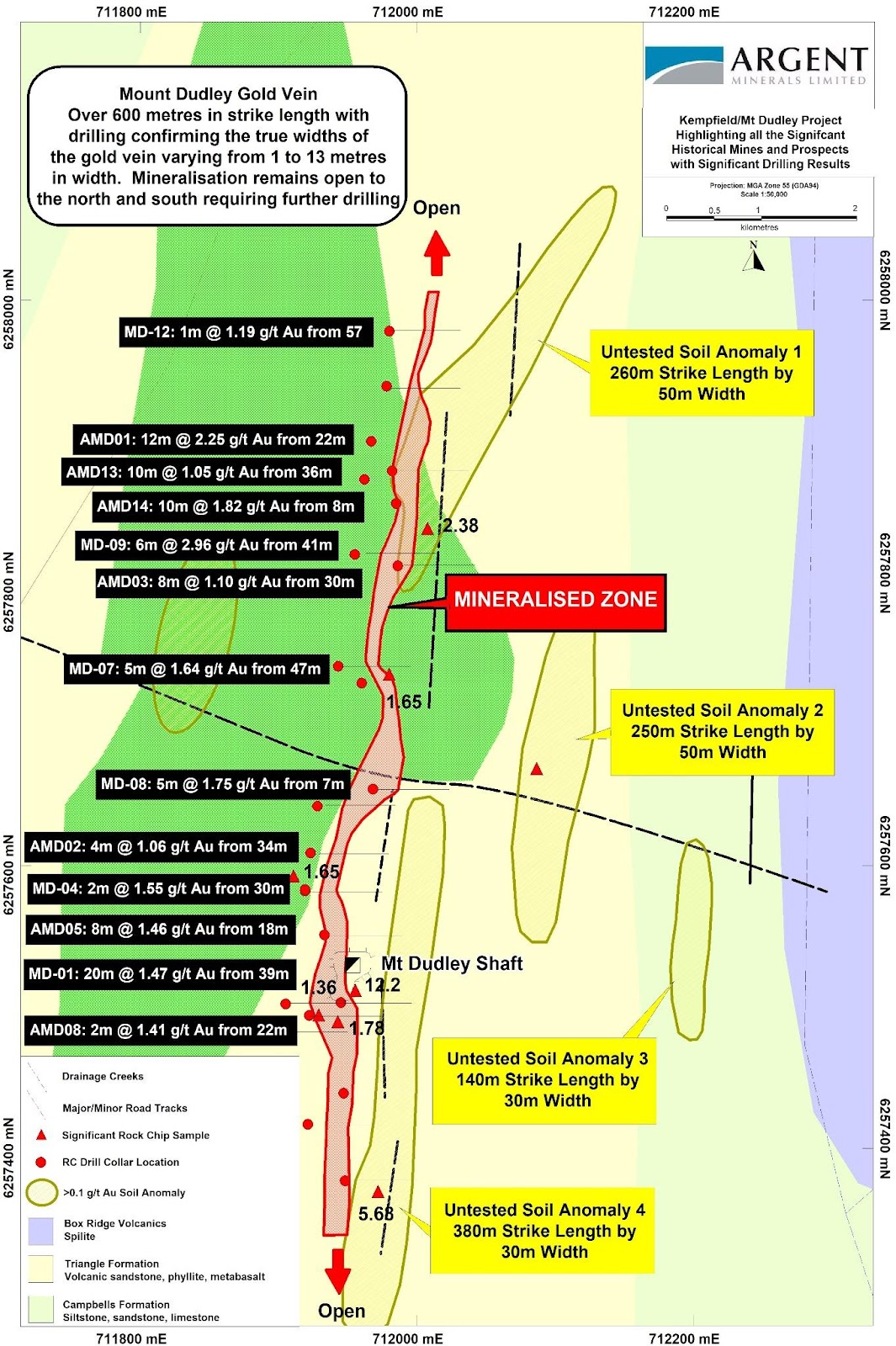
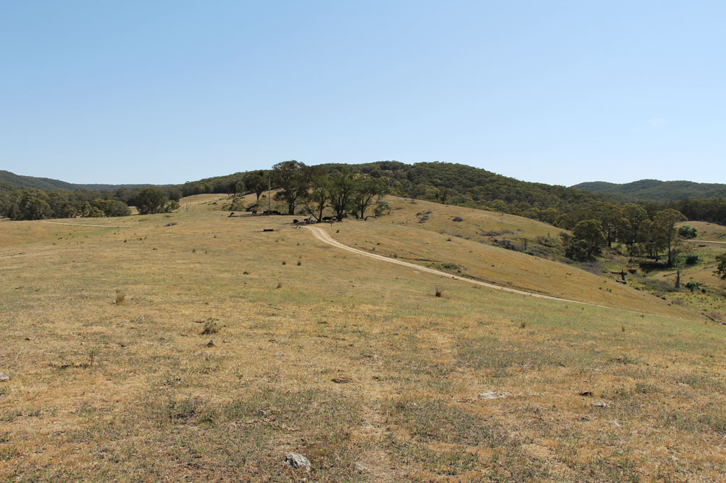
The Mt Dudley Exploration Licence (EL) 5748 is located approximately 5 km northwest of the township of Trunkey, near Blayney in New South Wales. The Exploration Licence 5748 is 100% owned and operated by Argent Pty Ltd a wholly owned subsidiary of Argent Minerals Limited. Access can be gained along the sealed Bathurst-Abercrombie Road, thence along the gravelled Colo Road.
The project area covers three main historic workings which includes the Mt Dudley Mine, Scabben Flat workings, Golden Wattle workings and also a number of unnamed small pits.
The Mount Dudley mine was discovered in 1913 by McKellar and party, sold to Kirkman and party in approximately 1916 and thence to the Mount Dudley Mining Co (1917) who worked the mine until 1922. Recorded production was 2,268 ounces Au (70.54 kilograms) from 2,800 tons (2,845 tonnes) at average grade 24.8 g/t.
Selective mining appears to have been practised as approximately 1,300 tonnes of vein material was raised but not treated and approximately 9,000 tonnes of vein/wallrock in the dump has not been treated. The mine was “put in order” for inspection during 1941 but no production is recorded at that time. The Scabben Flat workings were discovered prior to Department of Mineral Resources records (pre-1873) but were worked between 1893 and 1894 and from 1916-1917 for recorded production of 42 ounces Au (12.91 kilograms) from 388 tons (394 tonnes).
Table 1 – Mt Dudley Global Mineral Resource Estimate
| Classification | Volume (m3) | Tonnage | Average Grade g/t Au | Contained Metal oz Au | |
|---|---|---|---|---|---|
| Total | Inferred | 333,070 | 882,636 | 1.03 | 29,238 |
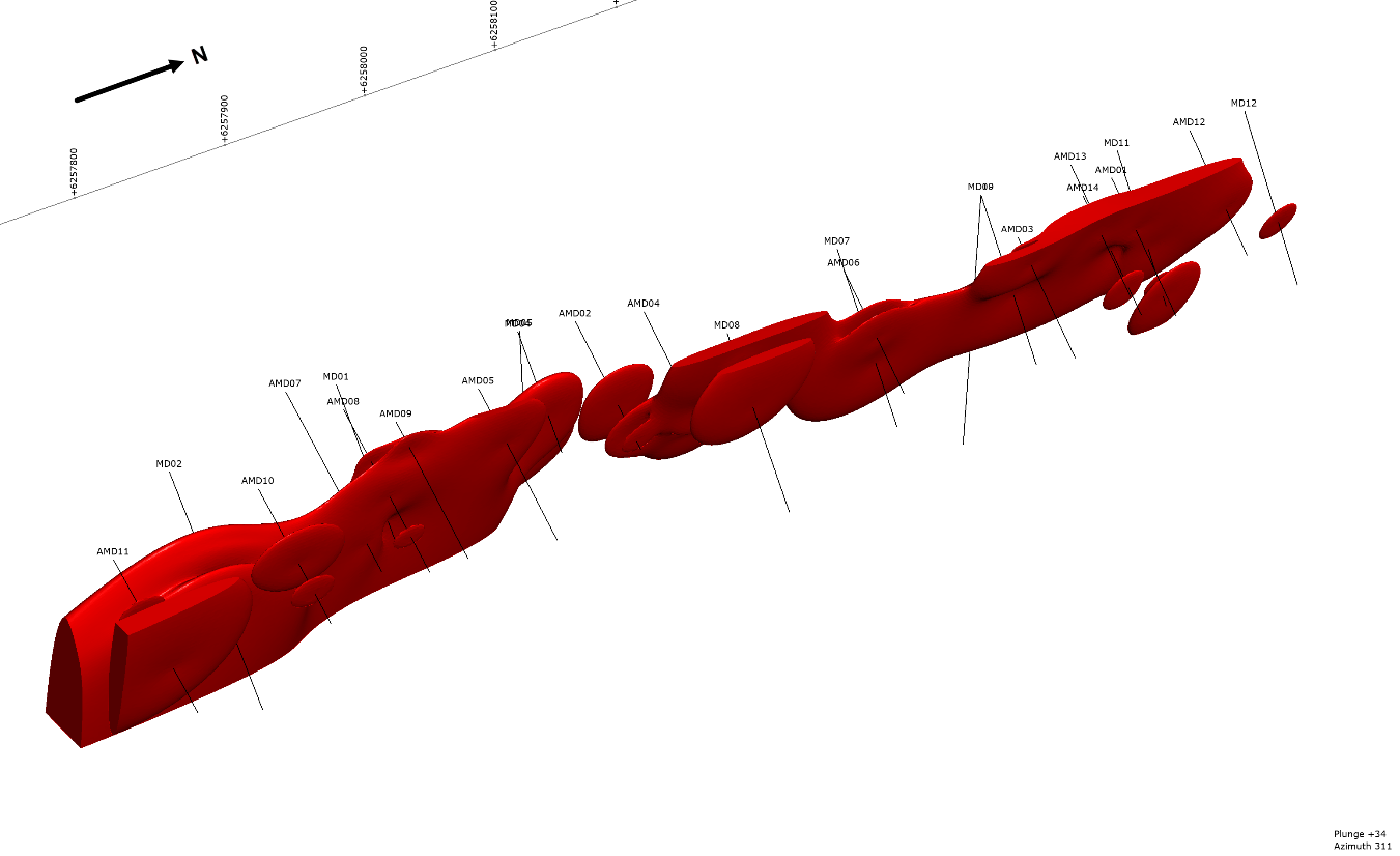
Gold mineralisation is developed over a north oriented strike length of 630m. Multiple 5-6m thick lodes form a package of up to 30m thickness that dips at 65o towards the west. The resource is modelled to depth of 95m from surface. However, the mineralization is not closed off at depth with the gold mineralised vein dipping 40o west at surface. Historical references indicate that the vein steepens to dip 55o west at depth. Collapsed stopes indicate that the vein was mined over a strike length of 75m with most of the production coming from the upper most 15m of the mine.
NSW Kempfield Polymetallic
Located 41 kilometres to the south of Newcrest’s Cadia is Kempfield, the Company’s flagship project, a registered New South Wales State Significant Development owned 100% by Argent Minerals.
Trunkey Creek Gold
The Trunkey Creek Gold Project is located in the East Lachlan Fold Belt, 180kms Northwest of Sydney, in a high profile mining & exploration region which contains several major gold, copper-gold and silver deposits (Cadia-Rigeway Mine, Lake Cowal, Northpakes and Boda Deposit).
Pine Ridge Gold
The Pine Ridge Gold Project is located in the East Lachlan Fold Belt, 180kms Northwest of Sydney, in a high profile mining and exploration region which contains several major gold, copper-gold and silver deposits (including the Cadia-Rigeway Mine, Lake Cowal, Northpakes and the Boda Deposit).


