

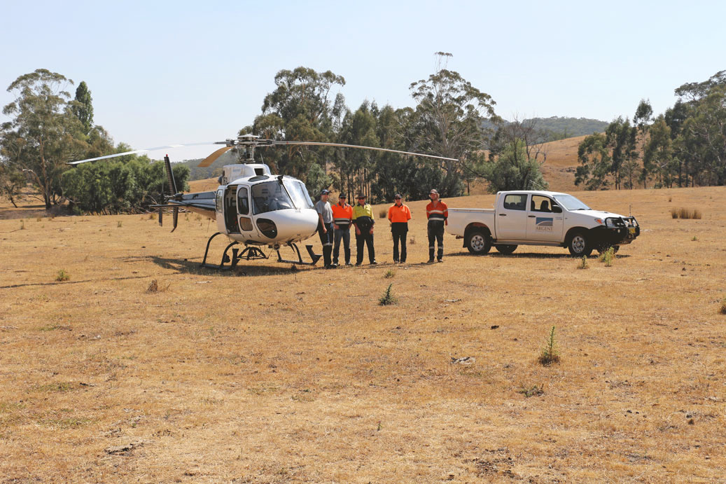
The Trunkey Creek Project (EL5748 – total area 59.7 km2) is located over the township of Trunkey approximately 38km southwest of Bathurst in NSW. Access to the licence is via bitumen roads from Bathurst or via bitumen and dirt roads from Blayney. The areas were first discovered in 1851 and worked from 1852 to 1880, and then again from 1887 to 1908. By 1873 there were 2,500 people at Trunkey and nearby Tuena with many rich veins being mined for gold.
The mineral field extends for about 5.5 km and in general is approximately 250m in width and in other areas where the zone is up to 500m wide. Almost all hard rock workings strike north and are hosted in bedding and/or cleavage parallel structures.
The sub-parallel main quartz reefs are spaced 30m to 50m apart over a strike length of 2 km. The distribution of shafts along the reef indicates two main centres of mineralisation. Other workings suggest the presence of occasional spur veins between the lodes
The gold mineralisation occurs with pyrite in the quartz and patchy trace arsenopyrite and galena. Gold mineralisation is sporadic and probably has a pronounced nugget effect requiring bulk samples for representative sampling. Grades have been estimated to be between 12 and 20 g/t Au based on historical mining records. Some grades at depth yield close to 3 oz/t from ore quartz and mullock ran 3.3 g/t Au.


One of the strongest chargeability responses is semi-coincident with the resistivity anomaly which lies immediately east of the township (Refer to Figure 2 – Chargeability Anomaly 2. Another 2 strong chargeability responses are evident at the southern boundary and in the north-west of the survey area also (Refer to Figure 2). Additional lower order zones are evident which provide some correlation to the historical mining operations workings.
Coincident resistive and chargeable anomalies and trends represent priority targets for follow up investigations. A total of 6 high priority IP targets have been delineated for drill testing – these have a good correlation to historical workings.
Several discrete linear resistivity trends are evident which provide some correlation to the historical mining operations. The resistive trends may represent silica rich veins prospective for gold mineralisation at Trunkey Creek. The gold mineralisation is reportedly associated with sulphides in the quartz veins which should return chargeable responses where present.

NSW Kempfield Polymetallic
Located 41 kilometres to the south of Newcrest’s Cadia is Kempfield, the Company’s flagship project, a registered New South Wales State Significant Development owned 100% by Argent Minerals.
Mount Dudley Gold
Over 890km2 of granted exploration licences within a 30-70km radius of world-class Lithium and Tantalum deposits including Pilbara Minerals Limited (Pilgangoora), Mineral Resources (Wodgina) and Global Lithium Ltd (Archer).

Pine Ridge Gold
The Pine Ridge Gold Project is located in the East Lachlan Fold Belt, 180kms Northwest of Sydney, in a high profile mining and exploration region which contains several major gold, copper-gold and silver deposits (including the Cadia-Rigeway Mine, Lake Cowal, Northpakes and the Boda Deposit).