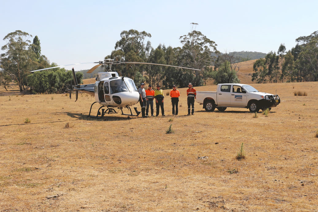
The Exploration License (EL) 8213 is 100% owned and operated by Argent Pty Ltd a wholly owned subsidiary of Argent Minerals Limited. The Pine Ridge Exploration Licence (EL) 8213, located in an undulating region of the Central Tablelands in New South Wales (NSW), approximately 65 kilometres south of the township of Bathurst and 10 km south-west of Trunkey.
Alluvial gold was discovered within the area of EL 8213 in 1851 on the Abercrombie River and its tributaries. After the initial gold rush of the early 1850’s, small scale alluvial and deep-lead prospecting and mining continued until the Second World War.
The Pine Ridge Gold Mine commenced mining in 1877 and continued sporadically until 1948, producing a total of 6,864t ore with variable gold grades. Mining was originally conducted by open cut workings and then subsequently by underground workings which consisted of 2 shafts up to 20m deep, small open cut pits, an adit and underground drives in a zone that extended over 300m.
The mineralisation has been described as two zones of highly weathered porphyrite separated by phyllite up to 75m wide that contained gold bearing quartz veins.
The drilling programs conducted by Rimfire in the late 1990’s and the Company in 2019 has revealed some potential similarities with the McPhillamy’s gold deposit which host over 2.31Moz of Gold. The McPhillamys gold deposit lies along one of series of north-south trending splays/horsetail structures that occur at the inflection of the Godolphin-Copperhania Fault Zone where the orientation changes from NNW-SEE to SSW-NNE. The splay is defined by strong shearing and faulting and continue to the south over 6 km.
Gold mineralisation is associated with strongly sheared volcaniclastics and strong quartz-carbonate-sericite-pyrite alteration. The gold mineralisation trends roughly N-S over a strike distance of 900m and dips steeply at 70 o to 80o to the east.
Table 1 – Pine Ridge Global Mineral Resource Estimate
| Classification | Tonnage | Average Grade g/t Au | Contained Metal oz Au | |
|---|---|---|---|---|
| Total | Inferred | 419,887 | 1.65 | 22,122 |
Mineral Resource Estimate
The Resource has been independently estimated by Odessa Resources Pty Ltd (Perth). The estimate has been produced by using Leapfrog Edge software to produce wireframes of the various mineralised lode systems and block grade estimation using an ordinary kriging interpolation. Top cuts were applied to individual lodes as necessary to limit the effect of high-grade outliers.
The Resource has been classified as a global Inferred based on historical drill results. The future infill drilling will support further increase in the resource classification.
NSW Kempfield Polymetallic
Located 41 kilometres to the south of Newcrest’s Cadia is Kempfield, the Company’s flagship project, a registered New South Wales State Significant Development owned 100% by Argent Minerals.
Trunkey Creek Gold
The Trunkey Creek Gold Project is located in the East Lachlan Fold Belt, 180kms Northwest of Sydney, in a high profile mining & exploration region which contains several major gold, copper-gold and silver deposits (Cadia-Rigeway Mine, Lake Cowal, Northpakes and Boda Deposit).
Mount Dudley Gold
Over 890km2 of granted exploration licences within a 30-70km radius of world-class Lithium and Tantalum deposits including Pilbara Minerals Limited (Pilgangoora), Mineral Resources (Wodgina) and Global Lithium Ltd (Archer).


